|
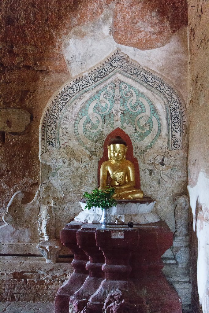 |
| 18-Sulamani temple | |
| Latitude: N 21°9'53,82" | Longitude: E 94°52'51,99" | Altitude: 76 metres | Location: Bagan | State/Province: Mandalay | Country: Myanmar | Copyright: Ron Harkink | See map | |
| Total images: 39 | Help | |
|
|
|
| 18-Sulamani temple | |
| Latitude: N 21°9'53,82" | Longitude: E 94°52'51,99" | Altitude: 76 metres | Location: Bagan | State/Province: Mandalay | Country: Myanmar | Copyright: Ron Harkink | See map | |
| Total images: 39 | Help | |